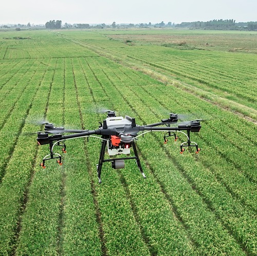
Bioinformatics from Drone Images for Crop Scouting
Lesson Overview

Students will learn how NDVI (Normalized Differential Vegetation Index) images from drones and/or satellites are used to manage agricultural crops and fields. They will be instructed and then have time for hands-on experiences in working with drones, or satellite images. Learning opportunities will be provided in reading charts and graphs, compiling data and making their own charts and graphs to share with the class.
About the Scientist

Qin Ma
Institution: Ohio State UniversityMy name is Qin Ma, and I am an associate professor in the Department of Biomedical Informatics at The Ohio State University and a member of the Molecular Biology and Cancer Genetics Program at Ohio State's Comprehensive Cancer Center – James Cancer Hospital (OSUCCC – James), where I study how diverse cells impact cancer development. One of my current research projects aims to examine the construction of cell type-specific gene co-regulation signatures based on single cell transcriptomics data in order to develop a computational model that tracks how genes are expressed in specific cell types and help scientists unravel how diseases progress and evade treatment. I earned a B.S. degree in Applied Mathematics and, ultimately, a Ph.D. in Operations Research, both from Shandong University in China. Then I worked at the University of Georgia as a Postdoctoral Researcher and Research Scientist, before teaching courses at South Dakota State University (SDSU) in bioinformatics and leading the Bioinformatics and Mathematical Biosciences Lab. I have co-authored many articles in well-respected journals, including Nucleic Acids Research, Bioinformatics, PLoS Computational Biology, Oncotarget and International Journal of Cancer. Qin Ma has also shared his work at events across the world, including the Great Lakes Bioinformatics Conference and the Plant and Animal Genome Conference.
 National Science Foundation RII Track-1 Project:Expanding Research, Education and Innovation in South Dakota